You can look at your property on your phone right now and see it from above with photos from the sky. You can even guess how big your lot is with a few clicks. It’s cool technology and useful for getting ideas. But here’s the thing: a picture from the sky isn’t the same as hiring a real surveyor. A picture shows you something that looks like your property, but it doesn’t tell you what you actually own or where your boundary really sits.
Why Digital Property Maps Are Just For Looking, Not For Real Decisions
County maps online are helpful for getting ideas about property and seeing where things are located. Overhead photos from companies like Google are nice to see what things look like from above. But neither one was made to tell you where your property line actually sits. These tools even say so in their fine print by warning people that the information is rough and approximate, not exact or legally binding.
Photos from space aren’t that clear anyway when you’re trying to find exact boundaries. A fence you see in a photo might actually sit a few feet away from where it looks like it sits on the screen. You can’t tell the difference by staring at a computer or phone. Plus these maps don’t update fast, so when something changes on your property, it might take months before the online map shows it. By then you’re looking at old information that doesn’t match what’s really there.
Real Surveyors Do More Than Look At Pictures
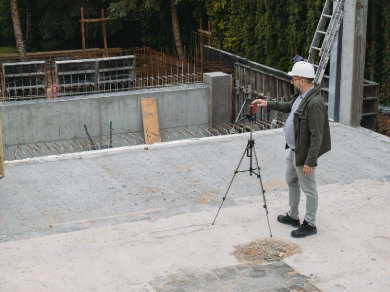
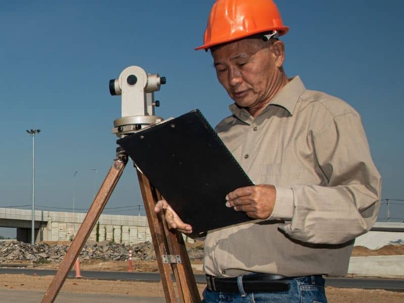
A licensed surveyor doesn’t just look at maps on a computer or study photos from the sky. They come to your property in person and look around carefully for evidence. They search for old markers that other surveyors put in the ground years ago, and these markers might be rocks, stakes, or concrete corners that show where your property ends. Finding these markers takes real fieldwork and knowledge that comes from experience.
Surveyors read your official deed and understand what it means in legal terms. They look at official plat maps that show how your parcel relates to neighboring properties. They research old documents if your property changed owners many times over the years. They look at fences, walls, and other things on the property to see if they line up with the official boundary, and when information doesn’t match up, they figure out what’s actually true based on evidence.
The Big Difference Between A Rough Guess And Official Documentation
Online maps give you an estimate that’s fine if you’re just curious about your property. But when you buy property, your bank wants real surveying work done by a licensed professional. When you plan to build something, the city wants certified survey information before they approve permits or let you start. A screenshot won’t work in either situation because neither banks nor cities accept unofficial information for decisions this important.
If you and a neighbor fight about a boundary line, you can’t judge a picture from Google Maps or any online service. You need professional work from someone licensed by the state who can explain what they found and why they believe it. That licensed person’s work carries real weight in court and shows they’re responsible for what they say. An online map doesn’t mean anything legally because no one stands behind it or takes responsibility for being wrong.
Properties Change And Online Maps Don’t Keep Up
When someone splits one property into two pieces, that legal change takes time to show up on online maps. Easements get added for power lines, water pipes, or road access, but these legal changes don’t show up visibly on photos even though they affect what you can do. New roads get built, parking lots get expanded, and property corners get moved, yet these changes get officially recorded in documents that take time to appear online. These things get officially recorded, but online maps don’t update right away, and sometimes they don’t update for years.
A real surveyor knows about all these changes because they research official documents at the courthouse. They know what changed and when it happened because they look at the records. An online map just shows an old picture that might be from before all the changes happened. That picture could be from five years ago or more, so it doesn’t show current conditions.
Licensed Surveyors Have To Stand Behind Their Work
Licensed surveyors follow state rules and professional standards that online mapping companies don’t have to follow. If they make a mistake, they lose their license and their entire business can fail. They carry special insurance because their work matters and affects real property and real money. They have to keep learning and stay current on new rules and technology.
When a surveyor finishes a job, they put their name on the work and take responsibility for it. They write down everything they found and explain why they believe it. If someone questions their work later, they can explain their thinking and defend what they said. Online maps have no one behind them taking responsibility, and those companies tell you straight up that the information might be wrong.
About eighty percent of property line fights happen over questions that online maps could never answer because they need human judgment. These questions need someone to look at documents and walk the property and make a real decision based on solid evidence.
FAQs
Can I use online maps to find my exact property boundary?
No. Online maps show approximate locations and aren’t meant to establish legal boundaries or be used for official decisions.
Why do surveyors do more than just look at satellite photos?
Surveyors find old boundary markers on the ground, read legal documents, and walk the property to find real evidence that pictures can’t show.
Are county maps the same as a professional survey?
No. County maps are helpful reference tools that show approximate locations, but they aren’t surveys and don’t have professional responsibility behind them.
Why are online maps sometimes wrong about what’s on my property?
Maps update slowly and might show conditions from months or years ago. Your property may have changed significantly since the last photo was taken.
Why does my bank want a real survey instead of accepting online maps?
Banks need documented professional work that they can rely on and defend if questions come up later about the property or its boundaries.
When do I actually need to hire a surveyor instead of just looking online?
Hire one before buying property, before building something, when you’re fighting with neighbors about boundaries, or whenever you need official proof of what you own.

 Land Surveyors are professionals who make precise measurements to determine the size and boundaries of a piece of real estate. While this is a simplistic definition, boundary surveying is one of the most common types of surveying related to home and land owners. If you fall into the following categories, please click on the appropriate link for more information on that subject: