
Historic Property Easement Discovery Using ALTA Survey Mapping and Analysis
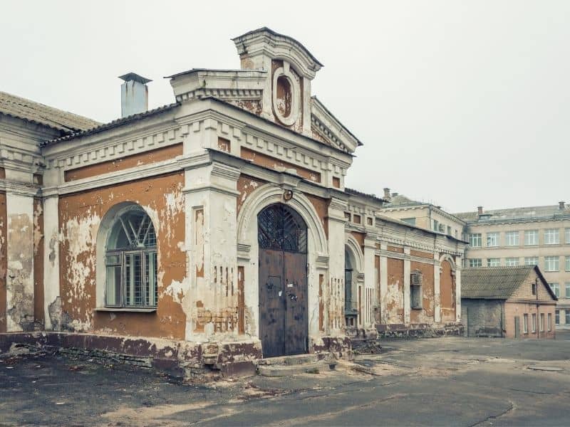
Historic properties carry layers of legal history that modern maps rarely capture in full. Access rights, utility corridors, preservation limits and old boundary calls sit in the records, waiting to affect a sale, a restoration or a redevelopment plan. ALTA survey mapping brings those layers into one clear document. Surveyors compare recorded easements, old deeds and current field conditions to build a picture of what the property truly carries. That picture protects owners from surprises that could derail a project long after ownership changes hands.
Tracing Old Access Routes Shown in Historic Property Records
A driveway that has served a house for a hundred years often carries legal weight beyond what the current deed shows. Historic properties often include shared lanes, private roads and alley access from the original parcel layout. Some of these rights sit in old deeds and never made it into modern title work. Others show up on early plat maps that stopped receiving updates decades ago.
ALTA survey mapping pulls these historic access details into the current document. Surveyors trace the recorded language back to its original source and plot the routes against today’s site layout. That work reveals paths that may still be legally active even when they no longer look like roads. Owners then know whether a neighbor still holds a right to cross the property or whether an old lane needs formal treatment before redevelopment moves forward.
Ignoring these old routes creates real problems. A locked gate across a still-active shared lane can lead to lawsuits. Any new structure over a forgotten access corridor may face demolition orders. Early mapping keeps those problems from becoming expensive fights.
Comparing Historic Deeds With Current Site Layouts
Old deeds speak a different language than modern ones. Bearings often reference magnetic north instead of true north, and distances appear in chains and rods. Old monuments carry names like “the large oak” or “the fence corner.” Surveyors work through this language to figure out what the original writer actually meant.
The comparison often turns up conflicts. A recorded easement may cross what is now a garage. A driveway that appears on an old plat may sit entirely on a neighbor’s land. Fence lines may have shifted over the years and now sit far from the actual boundary. Each of these mismatches raises a question the ALTA report answers with plotted evidence rather than guesswork.
Historic record conflicts often need legal review to fully resolve. What the ALTA analysis does is put every conflict on paper so attorneys and title officers can address them with facts. That level of clarity moves the project forward instead of letting old questions stall it.
Locating Utility Easements Hidden by Later Property Changes
Time buries easements. Water lines from a century ago still cross many historic properties, but decades of landscaping, paving, additions and site changes hide the evidence at the surface. The utility rights themselves stay in force even when the physical clues disappear.
ALTA survey mapping combines recorded easement data with current utility research to show where hidden rights still cross active parts of the property. Common findings include:
- Water and sewer lines that run under new patios or garages
- Overhead utility corridors that later landscape screening now hides
- Gas lines that cross under additions where no one moved the line first
- Access strips that utility providers still hold on the record
Each of these findings affects what an owner can build, plant or dig on the site. A restoration plan that includes new foundations may run straight into a live water main. A redevelopment plan that widens a driveway may cross a utility easement that limits paving thickness. Knowing about these rights up front keeps the work moving.
Identifying Preservation Restrictions Tied to Land Use
Some historic properties come with strings attached. Preservation easements, historic district rules and landmark restrictions all place limits on what an owner can do with the site. These limits may control exterior changes, site layout, access modifications or new construction on the parcel.
ALTA survey analysis helps flag mapped restrictions that appear in recorded documents. The report shows the parcel outline, the location of protected features and any easement areas that link to the preservation record. Owners, buyers and developers can then take those flags to a title attorney or preservation office for full legal review before they commit to a design.
The stakes on preservation restrictions run high. A renovation that violates a preservation easement can trigger fines and force the owner to restore the property to its original condition. A redevelopment that ignores landmark rules can lose permits mid-project. Early mapping gives every party the information they need to plan a project that works within the rules.
Clarifying Easement Risk Before Restoration or Redevelopment
Restoration projects on historic properties often stall on easement questions no one saw coming. A design team may finish plans only to learn that an old access right cuts across the proposed addition. A contractor may break ground and hit a utility line no one thought was still active. These delays cost time and money.
The ALTA survey report reduces that risk by putting easement data in front of the design team before drawings begin. Architects can then shape a plan around real constraints instead of guessing at where old rights might sit. The owner can also budget for easement releases or relocations if the design calls for them. On the legal side, attorneys can pursue clarifications while the project is still on the drawing board.
That kind of early clarity pays off across the project. A restoration that respects existing easements holds up in the record. Historic properties reward owners who take the time to understand what the land carries.
Frequently Asked Questions
Why are easements important on historic properties?
Historic properties often carry old access rights, utility corridors and preservation restrictions that still affect ownership. These rights can shape what an owner can build, sell or change on the site. Understanding them before a project starts protects both value and use.
Can an ALTA survey find old easements that are not visible today?
Yes. The survey combines recorded easement research with current field measurements to plot old rights against the modern site. That process reveals easements hidden under paving, landscaping or additions that came later.
How do historic deeds affect ALTA survey mapping?
Historic deeds often use older bearings, distances and monument references that no longer match today’s site conditions. Surveyors translate that language into modern measurements and compare it with today’s improvements and boundary evidence.